
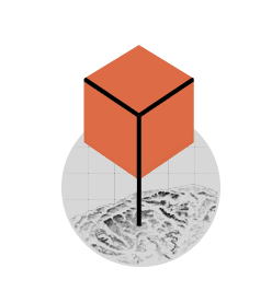
AERIAL Imagery - 3D terrain - GE visualization
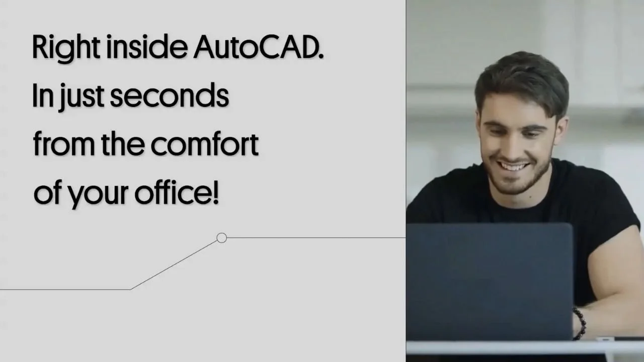
Geospatialize your CAD
Design Today!START YOUR FREE TRIAL

Wherever in the world -Whenever you need it.
Plex-Earth gives thousands of engineers the complete 3D geographical view of their project area, with imagery and data from Airbus, Maxar, Nearmap, Hexagon, Inflights, Google Maps and more.
Do you want that superpower too?
Welcome to Plex-Earth!
Unique offer for CAD Intentions viewers:
Get 2 months of Plex-Earth Pro for free.

Transform your project design with Premium Imagery
Design civil engineering projects with unparalleled accuracy and attention to detail using premium imagery from industry-leading providers Airbus, Maxar, Hexagon, and Nearmap, exclusively available through Plex-Earth. This ensures efficient project delivery with the most up-to-date and precise data.
What Plex-Earth offers you!

IMAGERY
You're always looking at the bigger picture to make better design decisions, so our satellite, aerial and drone imagery from the best available providers suits you perfectly, for insight, inspiration and understanding. It's actually better than being there!

TERRAIN
Now you can design with greater confidence, because you really can see everything; every bump and dip, every channel, ridge or obstruction on the site, and the surrounding areas too.
Any time you like, and anywhere in the world.
VISUALIZATION
Impress and engage clients and stakeholders, winning their hearts, their appreciation – and the contract. Now you can export whole drawings into Google Earth, allowing everyone to easily tour, understand and appreciate your design and proposals.
Are you a CAD Manager?
Plex-Earth will reinforce your whole team process, from amazing engineering insight, to simply avoiding errors!